
Freÿr topographic map
Interactive map
Click on the map to display elevation.
About this map
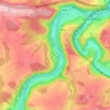
Name: Freÿr topographic map, elevation, terrain.
Location: Freÿr, Hastière, Dinant, Namur, Wallonia, 5540, Belgium (50.20499 4.86714 50.24499 4.90714)
Average elevation: 178 m
Minimum elevation: 70 m
Maximum elevation: 258 m