
Viveda topographic map
Interactive map
Click on the map to display elevation.
About this map
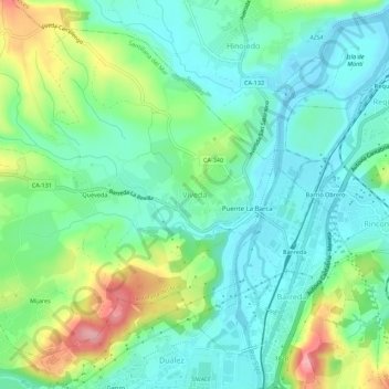
Name: Viveda topographic map, elevation, terrain.
Location: Viveda, Costa Occidental, Cantabria, 39314, España (43.35923 -4.07616 43.39923 -4.03616)
Average elevation: 39 m
Minimum elevation: -4 m
Maximum elevation: 133 m