
La Dorada topographic map
Interactive map
Click on the map to display elevation.
About this map
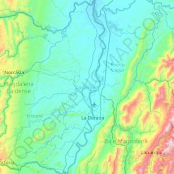
Name: La Dorada topographic map, elevation, terrain.
Location: La Dorada, Magdalena Caldense, Caldas, Colombia (5.28375 -74.81458 5.78288 -74.62459)
Average elevation: 430 m
Minimum elevation: 147 m
Maximum elevation: 1,903 m
Other topographic maps
Click on a map to view its topography, its elevation and its terrain.