
Myin Chan topographic map
Interactive map
Click on the map to display elevation.
About this map
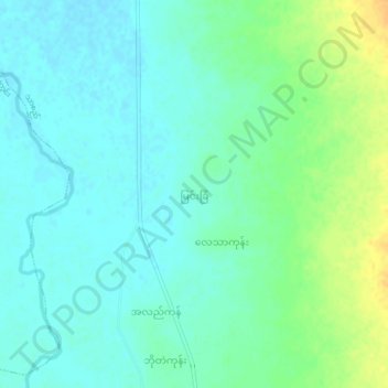
Name: Myin Chan topographic map, elevation, terrain.
Location: Myin Chan, Meiktila District, Mandalay, Myanmar (21.00028 96.13324 21.04028 96.17324)
Average elevation: 137 m
Minimum elevation: 127 m
Maximum elevation: 158 m