
Rolfstangen topographic map
Interactive map
Click on the map to display elevation.
About this map
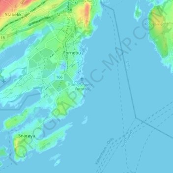
Name: Rolfstangen topographic map, elevation, terrain.
Location: Rolfstangen, Bærum, Akershus, 1325 LYSAKER, Norway (59.87163 10.61541 59.91163 10.65541)
Average elevation: 6 m
Minimum elevation: -10 m
Maximum elevation: 57 m