
الرقة topographic map
Interactive map
Click on the map to display elevation.
About this map
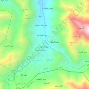
Name: الرقة topographic map, elevation, terrain.
Location: الرقة, Sharas District, حجة, Iêmen (15.65662 43.64828 15.69662 43.68828)
Average elevation: 1,462 m
Minimum elevation: 1,098 m
Maximum elevation: 2,146 m