
Hall Park topographic map
Interactive map
Click on the map to display elevation.
About this map
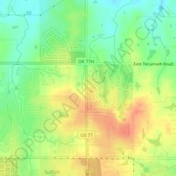
Name: Hall Park topographic map, elevation, terrain.
Location: Hall Park, Norman, Cleveland County, Oklahoma, USA (35.25694 -97.42357 35.25906 -97.42285)
Average elevation: 356 m
Minimum elevation: 333 m
Maximum elevation: 379 m
Other topographic maps
Click on a map to view its topography, its elevation and its terrain.
Lake Thunderbird State Park
Lake Thunderbird State Park, Little Axe, Norman, Cleveland County, Oklahoma, 73026, USA
Average elevation: 335 m