
Khao Wua–Phloi Waen topographic map
Interactive map
Click on the map to display elevation.
About this map
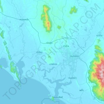
Name: Khao Wua–Phloi Waen topographic map, elevation, terrain.
Location: Khao Wua–Phloi Waen, Chanthaburi Province, 22120, Thailand (12.46219 101.88896 12.78219 102.20896)
Average elevation: 37 m
Minimum elevation: -3 m
Maximum elevation: 915 m
Other topographic maps
Click on a map to view its topography, its elevation and its terrain.