
Joliet topographic map
Interactive map
Click on the map to display elevation.
About this map
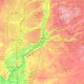
Name: Joliet topographic map, elevation, terrain.
Location: Joliet, Will County, Illinois, United States (41.43040 -88.36220 41.59479 -87.99036)
Average elevation: 195 m
Minimum elevation: 123 m
Maximum elevation: 244 m
Other topographic maps
Click on a map to view its topography, its elevation and its terrain.