Geolocate

Calumpit topographic map

Click on the map to display elevation.

About this map

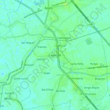
Name: Calumpit topographic map, elevation, terrain.

Location: Calumpit, Bulacan, Central Luzon, 3003, Philippines (14.87516 120.72366 14.95516 120.80366)

Average elevation: 4 m

Minimum elevation: -1 m

Maximum elevation: 8 m

Other topographic maps

Click on a map to view its topography, its elevation and its terrain.

La Residencia

Philippines > Bulacan > Calumpit > Sergio Bayan

Average elevation: 5 m

Gear up for your next adventure:

🔭Compact Hiking Binoculars - Lightweight optics for scouting terrain and spotting wildlife
Camping Shelters - Emergency and lightweight shelters for outdoor use
📢Survival Whistles - Essential safety gear for signaling for help in mountain fog
🔋Rechargeable Batteries - Eco-friendly power for headlamps and older GPS units
🚲Bikepacking Frame Bags - Storage for tools and navigation gear on long off-road rides

As an Amazon Associate, this site earns from qualifying purchases at no extra cost to you.