Geolocate

Payam topographic map

Interactive map

Click on the map to display elevation.

About this map

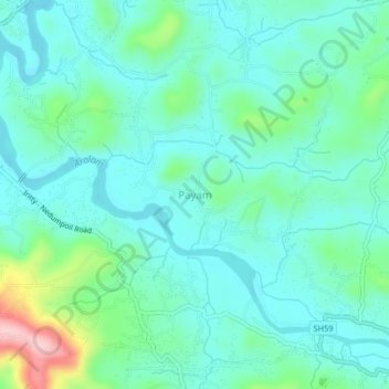
Name: Payam topographic map, elevation, terrain.

Location: Payam, Iritty, Kannur District, Kerala, 670703, India (11.95488 75.68173 11.99488 75.72173)

Average elevation: 60 m

Minimum elevation: 17 m

Maximum elevation: 221 m

Other topographic maps

Click on a map to view its topography, its elevation and its terrain.

Kottiyoor

India > Kerala > Iritty

Kottiyoor, Iritty, Kannur district, Kerala, 670651, India

Average elevation: 294 m

Peravoor

India > Kerala > Iritty

Peravoor, Iritty, Kannur district, Kerala, 670673, India

Average elevation: 106 m