
Papalote topographic map
Interactive map
Click on the map to display elevation.
About this map
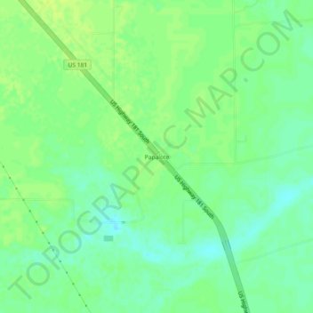
Name: Papalote topographic map, elevation, terrain.
Location: Papalote, Bee County, Texas, United States (28.15251 -97.62194 28.19251 -97.58194)
Average elevation: 29 m
Minimum elevation: 21 m
Maximum elevation: 35 m
Other topographic maps
Click on a map to view its topography, its elevation and its terrain.
Old Houston Highway Colonia
United States > Texas > Bee County > Old Houston Highway Colonia
Average elevation: 69 m