
Cedar Creek topographic map
Interactive map
Click on the map to display elevation.
About this map
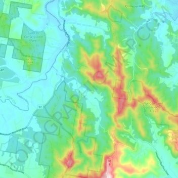
Name: Cedar Creek topographic map, elevation, terrain.
Location: Cedar Creek, Gold Coast City, Queensland, Australia (-27.89718 153.13718 -27.79775 153.21639)
Average elevation: 116 m
Minimum elevation: 9 m
Maximum elevation: 452 m
Other topographic maps
Click on a map to view its topography, its elevation and its terrain.