
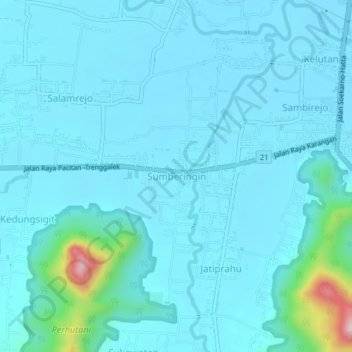
Sumberingin topographic map
Interactive map
Click on the map to display elevation.
About this map
Name: Sumberingin topographic map, elevation, terrain.
Location: Sumberingin, Trenggalek, East Java, Java, 66312, Indonesia (-8.10087 111.66755 -8.06087 111.70755)
Average elevation: 134 m
Minimum elevation: 103 m
Maximum elevation: 418 m