
Nordvorstadt topographic map
Interactive map
Click on the map to display elevation.
About this map
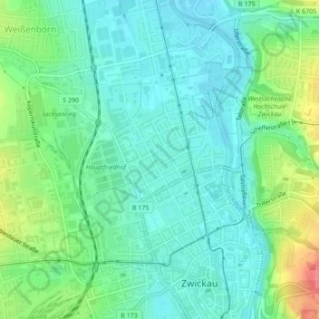
Name: Nordvorstadt topographic map, elevation, terrain.
Location: Nordvorstadt, Zwickau-Mitte, Zwickau, Saxony, Germany (50.72332 12.47892 50.73459 12.49843)
Average elevation: 278 m
Minimum elevation: 259 m
Maximum elevation: 327 m