Geolocate

Southgate topographic map

Interactive map

Click on the map to display elevation.

About this map

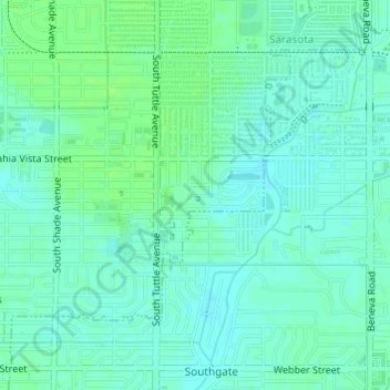
Name: Southgate topographic map, elevation, terrain.

Location: Southgate, Sarasota, Sarasota County, Florida, United States (27.31988 -82.51216 27.32063 -82.50961)

Average elevation: 10 m

Minimum elevation: 5 m

Maximum elevation: 14 m

Other topographic maps

Click on a map to view its topography, its elevation and its terrain.

Sarasota

United States > Florida > Sarasota County > Sarasota

Sarasota, Sarasota County, Florida, 34321, United States

Average elevation: 6 m

Sarasota Heights

United States > Florida > Sarasota County > Sarasota

Sarasota Heights, Sarasota, Sarasota County, Florida, 34239, United States

Average elevation: 7 m

Kensington Park

United States > Florida > Sarasota County > Sarasota

Kensington Park, Sarasota, Sarasota County, Florida, United States

Average elevation: 12 m

South Trail

United States > Florida > Sarasota County > Sarasota > South Trail

South Trail, Sarasota, Sarasota County, Florida, 34239, United States

Average elevation: 7 m