
Capraia topographic map
Interactive map
Click on the map to display elevation.
About this map
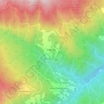
Name: Capraia topographic map, elevation, terrain.
Location: Capraia, AR, Toscane, Italie (43.60210 11.75298 43.60334 11.75410)
Average elevation: 691 m
Minimum elevation: 391 m
Maximum elevation: 1,045 m
Other topographic maps
Click on a map to view its topography, its elevation and its terrain.