
DeSoto Falls topographic map
Interactive map
Click on the map to display elevation.
About this map
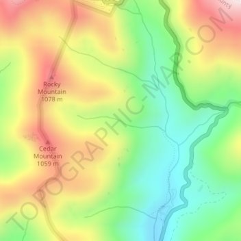
Name: DeSoto Falls topographic map, elevation, terrain.
Location: DeSoto Falls, Lumpkin County, Georgia, United States (34.71753 -83.92085 34.71790 -83.92074)
Average elevation: 858 m
Minimum elevation: 619 m
Maximum elevation: 1,152 m
Other topographic maps
Click on a map to view its topography, its elevation and its terrain.