
Ban Thung Chang topographic map
Interactive map
Click on the map to display elevation.
About this map
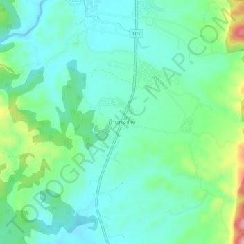
Name: Ban Thung Chang topographic map, elevation, terrain.
Location: Ban Thung Chang, Thung Chang, Nan Province, 55130, Thailand (19.37051 100.85855 19.41051 100.89855)
Average elevation: 345 m
Minimum elevation: 295 m
Maximum elevation: 496 m