Geolocate

Naur topographic map

Click on the map to display elevation.

About this map

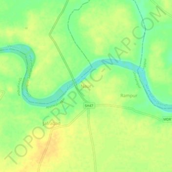
Name: Naur topographic map, elevation, terrain.

Location: Naur, Shrirampur, Ahmednagar, Maharashtra, 413707, India (19.73924 74.68486 19.77924 74.72486)

Average elevation: 484 m

Minimum elevation: 468 m

Maximum elevation: 494 m

Gear up for your next adventure:

🧣Neck Gaiters - Versatile protection against wind and cold
🧷Tenacious Repair Tape - Instant fix for torn tents, jackets, or dry bags
🌄Outdoor Binoculars - Compact binoculars for landscape observation
🧥Packable Down Jackets - Lightweight warmth that compresses small in your bag
🍱Food Containers - Reusable containers for outdoor meals

As an Amazon Associate, this site earns from qualifying purchases at no extra cost to you.