
Les Chênes topographic map
Interactive map
Click on the map to display elevation.
About this map
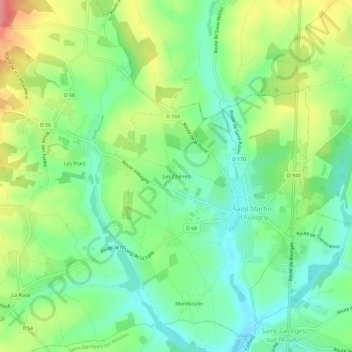
Name: Les Chênes topographic map, elevation, terrain.
Average elevation: 187 m
Minimum elevation: 153 m
Maximum elevation: 242 m
Other topographic maps
Click on a map to view its topography, its elevation and its terrain.
Montboulin
France > Centre-Val de Loire > Cher > Saint-Martin-d'Auxigny
Montboulin, Saint-Martin-d'Auxigny, Bourges, Cher, Centre-Val de Loire, France métropolitaine, 18110, France
Average elevation: 181 m