
Sega topographic map
Interactive map
Click on the map to display elevation.
About this map
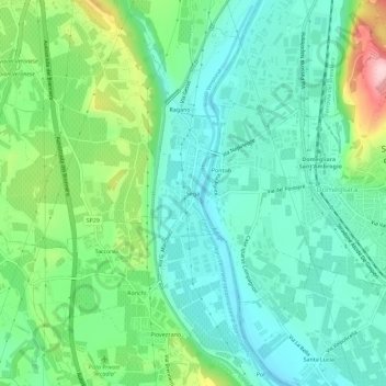
Name: Sega topographic map, elevation, terrain.
Location: Sega, Cavaion Veronese, Verona, Veneto, 37015, Italia (45.49804 10.78211 45.53804 10.82211)
Average elevation: 141 m
Minimum elevation: 78 m
Maximum elevation: 307 m