
Upton topographic map
Interactive map
Click on the map to display elevation.
About this map
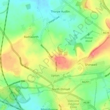
Name: Upton topographic map, elevation, terrain.
Location: Upton, Wakefield, West Yorkshire, England, United Kingdom (53.61089 -1.32260 53.63242 -1.25058)
Average elevation: 52 m
Minimum elevation: 22 m
Maximum elevation: 99 m
England trails, hiking, mountain biking, running and outdoor activities
Other topographic maps
Click on a map to view its topography, its elevation and its terrain.
Hemsworth Water Park
United Kingdom > England > Wakefield > Hemsworth > Kinsley
Average elevation: 60 m
Featherstone Colliery
United Kingdom > England > Wakefield > Featherstone > Snydale
Average elevation: 44 m