
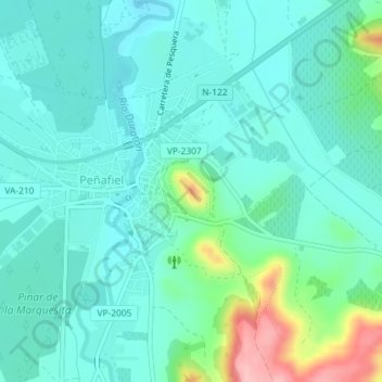
Castillo de Peñafiel topographic map
Interactive map
Click on the map to display elevation.
About this map
Name: Castillo de Peñafiel topographic map, elevation, terrain.
Average elevation: 771 m
Minimum elevation: 740 m
Maximum elevation: 887 m
Other topographic maps
Click on a map to view its topography, its elevation and its terrain.
Duratón
España > Castilla y León > Peñafiel
Duratón, Peñafiel, Valladolid, Castilla y León, 47300, España
Average elevation: 769 m