
La Vega topographic map
Interactive map
Click on the map to display elevation.
About this map
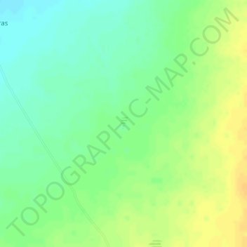
Name: La Vega topographic map, elevation, terrain.
Location: La Vega, Buenaventura, Chihuahua, México (29.78480 -106.67666 29.78620 -106.67579)
Average elevation: 1,462 m
Minimum elevation: 1,449 m
Maximum elevation: 1,475 m