
Geamăna topographic map
Interactive map
Click on the map to display elevation.
About this map
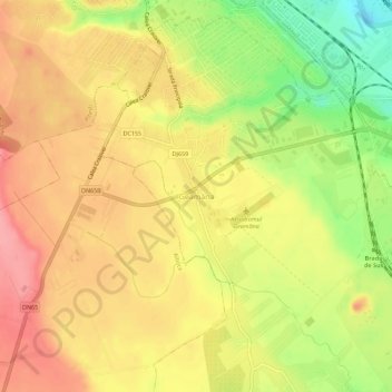
Name: Geamăna topographic map, elevation, terrain.
Location: Geamăna, Bradu, Argeș, 117141, Rumanía (44.79885 24.86981 44.83885 24.90981)
Average elevation: 306 m
Minimum elevation: 250 m
Maximum elevation: 344 m
Other topographic maps
Click on a map to view its topography, its elevation and its terrain.