
Sint-Denijs-Boekel topographic map
Interactive map
Click on the map to display elevation.
About this map
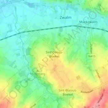
Name: Sint-Denijs-Boekel topographic map, elevation, terrain.
Location: Sint-Denijs-Boekel, Oost-Vlaanderen, Vlaanderen, 9630, België (50.84577 3.69258 50.88577 3.73258)
Average elevation: 39 m
Minimum elevation: 10 m
Maximum elevation: 96 m