
Pharr topographic map
Interactive map
Click on the map to display elevation.
About this map
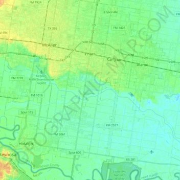
Name: Pharr topographic map, elevation, terrain.
Location: Pharr, Hidalgo County, Texas, 78577, Estados Unidos (26.06410 -98.22153 26.25041 -98.15932)
Average elevation: 32 m
Minimum elevation: 23 m
Maximum elevation: 49 m