
El Arenal topographic map
Interactive map
Click on the map to display elevation.
About this map
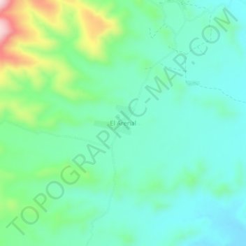
Name: El Arenal topographic map, elevation, terrain.
Location: El Arenal, Provincia Cordillera, Santa Cruz, Bolivien (-20.42307 -63.53402 -20.38307 -63.49402)
Average elevation: 1,035 m
Minimum elevation: 956 m
Maximum elevation: 1,272 m