
Wormer topographic map
Interactive map
Click on the map to display elevation.
About this map
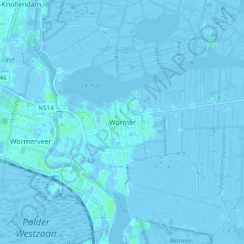
Name: Wormer topographic map, elevation, terrain.
Location: Wormer, Noord-Holland, Nederland, 1531, Nederland (52.47833 4.79230 52.51833 4.83230)
Average elevation: -1 m
Minimum elevation: -6 m
Maximum elevation: 6 m
Other topographic maps
Click on a map to view its topography, its elevation and its terrain.
Bartelsluis
Nederland > Noord-Holland > Wormer
Bartelsluis, Wormer, Wormerland, Noord-Holland, Nederland, 1531 MT, Nederland
Average elevation: -1 m