
348 topographic map
Interactive map
Click on the map to display elevation.
About this map
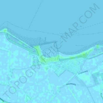
Name: 348 topographic map, elevation, terrain.
Location: 348, Noord-Beveland, Zeeland, Netherlands, The Netherlands (51.59308 3.71793 51.59314 3.71812)
Average elevation: 0 m
Minimum elevation: -2 m
Maximum elevation: 5 m
Other topographic maps
Click on a map to view its topography, its elevation and its terrain.