
Chaires topographic map
Interactive map
Click on the map to display elevation.
About this map
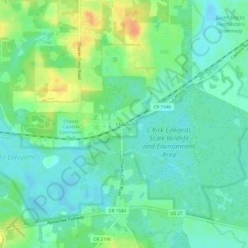
Name: Chaires topographic map, elevation, terrain.
Location: Chaires, Leon County, Florida, 32317, Estados Unidos (30.41631 -84.13739 30.45631 -84.09739)
Average elevation: 21 m
Minimum elevation: 8 m
Maximum elevation: 48 m