
Huanta topographic map
Interactive map
Click on the map to display elevation.
About this map
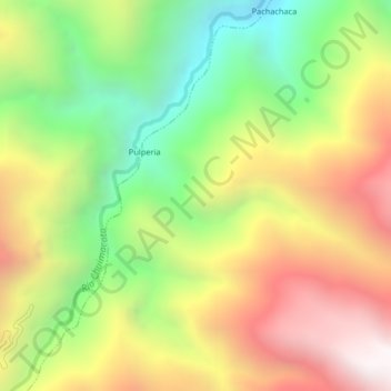
Name: Huanta topographic map, elevation, terrain.
Location: Huanta, Sivia, Huanta, Ayacucho, Pérou (-12.57630 -74.14152 -12.53630 -74.10152)
Average elevation: 2,549 m
Minimum elevation: 1,744 m
Maximum elevation: 3,439 m