
Łowicz topographic map
Interactive map
Click on the map to display elevation.
About this map
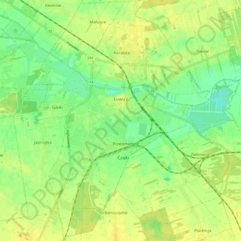
Name: Łowicz topographic map, elevation, terrain.
Location: Łowicz, powiat łowicki, Łódź Voivodeship, Poland (52.06487 19.90107 52.13740 19.98835)
Average elevation: 88 m
Minimum elevation: 76 m
Maximum elevation: 97 m