
Lucanin topographic map
Interactive map
Click on the map to display elevation.
About this map
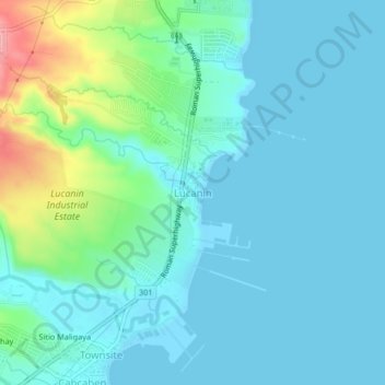
Name: Lucanin topographic map, elevation, terrain.
Location: Lucanin, Mariveles, Bataan, Central Luzon, Philippines (14.45419 120.58296 14.49419 120.62296)
Average elevation: 23 m
Minimum elevation: -1 m
Maximum elevation: 123 m