
Highfields topographic map
Interactive map
Click on the map to display elevation.
About this map
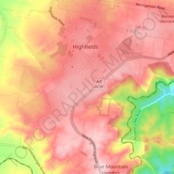
Name: Highfields topographic map, elevation, terrain.
Average elevation: 589 m
Minimum elevation: 392 m
Maximum elevation: 684 m
Along with Meringandan, the climate is oceanic (Köppen: Cfb) due to elevation, usually located further south of Australia.