
Lernapat topographic map
Interactive map
Click on the map to display elevation.
About this map
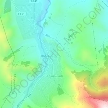
Name: Lernapat topographic map, elevation, terrain.
Location: Lernapat, Pambak community, Lori Province, 2033, Armenia (40.80578 44.37904 40.83727 44.39818)
Average elevation: 1,585 m
Minimum elevation: 1,419 m
Maximum elevation: 2,037 m
Other topographic maps
Click on a map to view its topography, its elevation and its terrain.