Waa topographic map
Interactive map
Click on the map to display elevation.
About this map
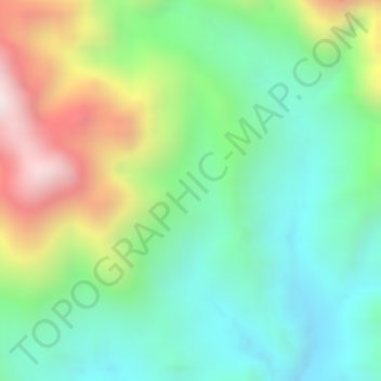
Name: Waa topographic map, elevation, terrain.
Location: Waa, Deiyai, Central Papua, Western New Guinea, Indonesia (-4.23149 136.77746 -4.21149 136.79746)
Average elevation: 606 m
Minimum elevation: 316 m
Maximum elevation: 1,111 m
Other topographic maps
Click on a map to view its topography, its elevation and its terrain.
Jagamin
Indonesia > Central Papua > Deiyai
Jagamin, Deiyai, Central Papua, Western New Guinea, Indonesia
Average elevation: 1,463 m
Arwandop
Indonesia > Central Papua > Deiyai
Arwandop, Deiyai, Central Papua, Western New Guinea, Indonesia
Average elevation: 1,389 m
Opitawak
Indonesia > Central Papua > Deiyai
Opitawak, Deiyai, Central Papua, Western New Guinea, Indonesia
Average elevation: 917 m
Bhintuka
Indonesia > Central Papua > Deiyai
Bhintuka, Deiyai, Central Papua, Western New Guinea, Indonesia
Average elevation: 156 m