
Foinikas topographic map
Interactive map
Click on the map to display elevation.
About this map
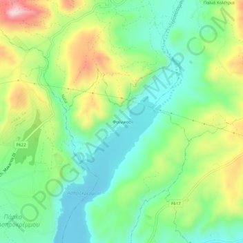
Name: Foinikas topographic map, elevation, terrain.
Location: Foinikas, Paphos District, Cyprus, 8505, Cyprus (34.73295 32.54865 34.77295 32.58865)
Average elevation: 162 m
Minimum elevation: 51 m
Maximum elevation: 366 m