
Gedong Tataan topographic map
Interactive map
Click on the map to display elevation.
About this map
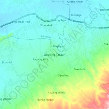
Name: Gedong Tataan topographic map, elevation, terrain.
Location: Gedong Tataan, Pesawaran, Lampung, Sumatra, 35371, Indonesia (-5.43979 105.03014 -5.35979 105.11014)
Average elevation: 156 m
Minimum elevation: 94 m
Maximum elevation: 383 m