
Leers-et-Fosteau topographic map
Interactive map
Click on the map to display elevation.
About this map
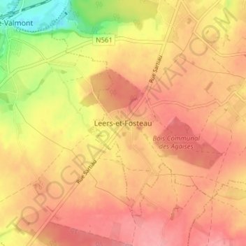
Name: Leers-et-Fosteau topographic map, elevation, terrain.
Location: Leers-et-Fosteau, Thuin, Henegouwen, Wallonië, 6530, België (50.28416 4.22477 50.32416 4.26477)
Average elevation: 175 m
Minimum elevation: 114 m
Maximum elevation: 205 m