
Kuruppampady topographic map
Interactive map
Click on the map to display elevation.
About this map
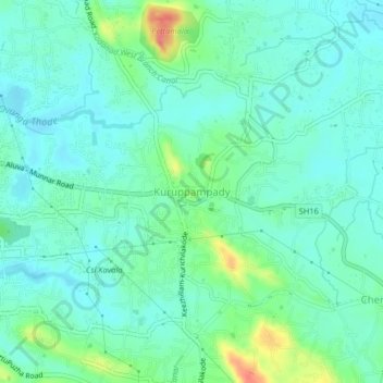
Name: Kuruppampady topographic map, elevation, terrain.
Location: Kuruppampady, Kunnathunad, Ernakulam, Kerala, 683545, India (10.09278 76.49998 10.13278 76.53998)
Average elevation: 28 m
Minimum elevation: 10 m
Maximum elevation: 82 m
Other topographic maps
Click on a map to view its topography, its elevation and its terrain.