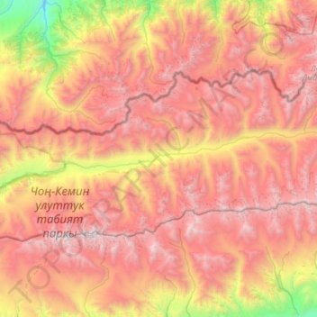
Chong-Kemin River topographic map
Interactive map
Click on the map to display elevation.
About this map
Name: Chong-Kemin River topographic map, elevation, terrain.
Average elevation: 3,254 m
Minimum elevation: 1,521 m
Maximum elevation: 4,670 m

Click on the map to display elevation.
Name: Chong-Kemin River topographic map, elevation, terrain.
Average elevation: 3,254 m
Minimum elevation: 1,521 m
Maximum elevation: 4,670 m