
Xindu District topographic map
Interactive map
Click on the map to display elevation.
About this map
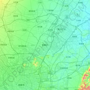
Name: Xindu District topographic map, elevation, terrain.
Location: Xindu District, Chengdu City, Sichuan, 610500, China (30.67779 103.90065 30.96795 104.32505)
Average elevation: 502 m
Minimum elevation: 450 m
Maximum elevation: 783 m