
Pavel topographic map
Interactive map
Click on the map to display elevation.
About this map
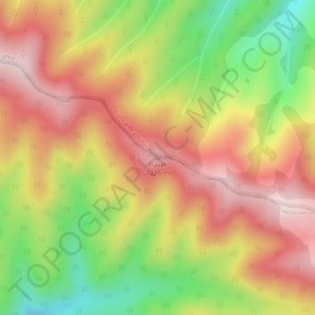
Name: Pavel topographic map, elevation, terrain.
Location: Pavel, Hodac, Mureș, Roemenië (46.86524 25.04028 46.86534 25.04038)
Average elevation: 1,080 m
Minimum elevation: 878 m
Maximum elevation: 1,244 m