
Padang Kala topographic map
Interactive map
Click on the map to display elevation.
About this map
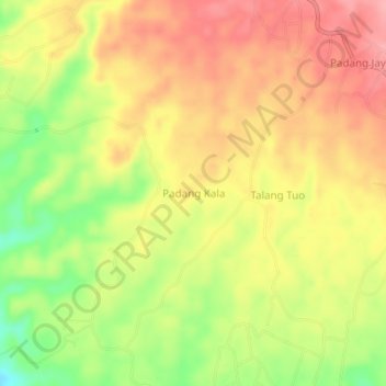
Name: Padang Kala topographic map, elevation, terrain.
Location: Padang Kala, Bengkulu, Indonesia (-3.41172 102.07941 -3.37172 102.11941)
Average elevation: 126 m
Minimum elevation: 63 m
Maximum elevation: 170 m