
St. Paul River topographic map
Interactive map
Click on the map to display elevation.
About this map
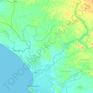
Name: St. Paul River topographic map, elevation, terrain.
Location: St. Paul River, Montserrado County, Liberia (6.38012 -10.95909 6.61831 -10.55350)
Average elevation: 28 m
Minimum elevation: -1 m
Maximum elevation: 173 m