
Pag-asa Island topographic map
Interactive map
Click on the map to display elevation.
About this map
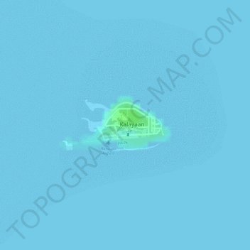
Name: Pag-asa Island topographic map, elevation, terrain.
Location: Pag-asa Island, Pag-asa, 5322, Philippines (11.05062 114.27755 11.05596 114.28974)
Average elevation: 0 m
Minimum elevation: 0 m
Maximum elevation: 8 m