
Foley topographic map
Interactive map
Click on the map to display elevation.
About this map
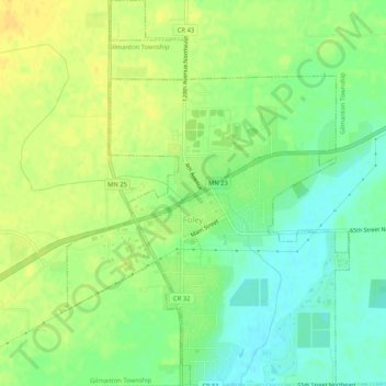
Name: Foley topographic map, elevation, terrain.
Location: Foley, Benton County, Minnesota, 56329, United States (45.64782 -93.93182 45.68415 -93.89255)
Average elevation: 348 m
Minimum elevation: 334 m
Maximum elevation: 360 m