
Jungholz topographic map
Interactive map
Click on the map to display elevation.
About this map
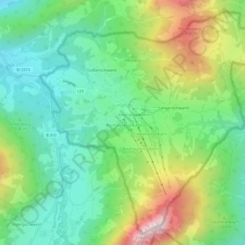
Name: Jungholz topographic map, elevation, terrain.
Location: Jungholz, Bezirk Reutte, Tyrol, 6691, Austria (47.55466 10.42900 47.58713 10.48201)
Average elevation: 1,139 m
Minimum elevation: 909 m
Maximum elevation: 1,585 m